

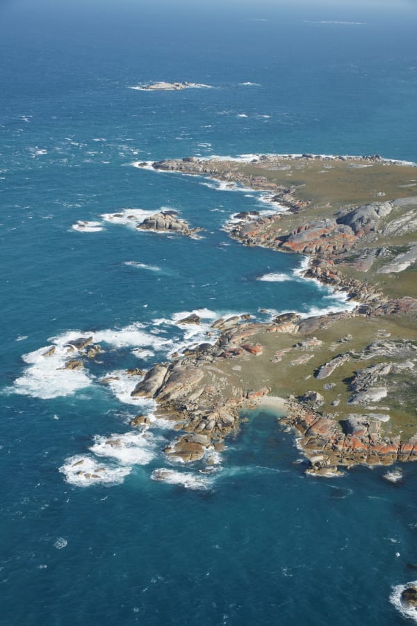
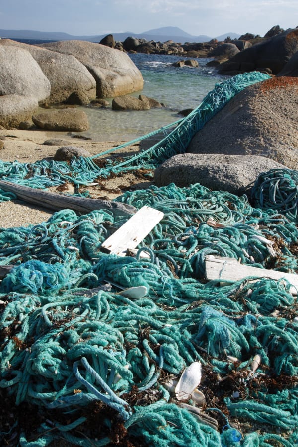
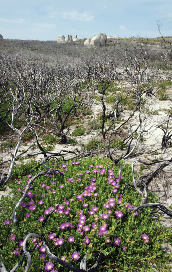
Garry Richardson is nothing if not laconic. Two years ago, he and a couple of mates were walking along the southern shore of Cape Barren Island looking at Clarke Island, and they decided they would like to walk around it. Circumnavigating Clarke island is a 57-kilometre trek. Other obstacles to the plan included the fact that Clarke Island was, and is, closed to the public, and was a wreck, having been devastated by a bushfire in February 2014.
It didn’t stop them.
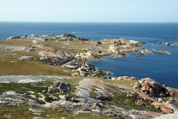
The dinkum name of Clarke Island is lungtalanana. It’s part of the Furneaux group of islands which are in fact the mountain remnants of the land bridge which, more than 10,000 years ago, allowed you to walk from Victoria to Tasmania. It’s a trek Garry Richardson would have relished.
If anybody lived on Clarke Island today, they would have the post code 7255. Nobody does, but they did. Everyone called it lungtalanana then. According to information published by the Tasmanian Aboriginal Centre, “Middens and artefacts on what are now Badger, Clarke, Cape Barren, Goose, Flinders and other islands show that Aborigines were living there as long as 24,000 years ago until about 4,500 years ago (when) the rising sea waters forced people to retreat onto mainland Tasmania.”
Today the island remains in the care of the Tasmanian Aboriginal community, from whom Richardson and his mates gained the necessary permission to set foot there. They stayed four nights, alone with ancient history.
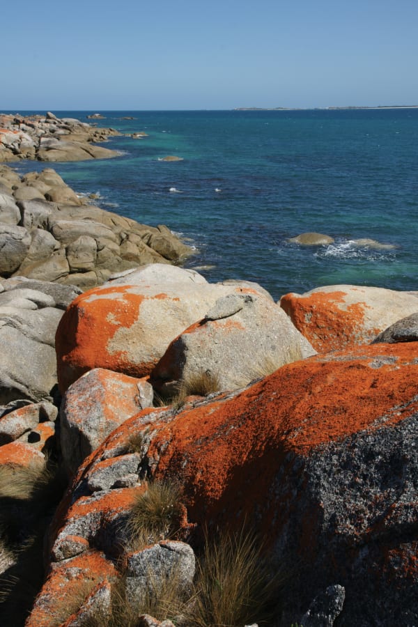
Richardson recalls, “The island was 90 per cent burnt out in 2014 and the walking was a bit ordinary at times. We tried to stick to the coast but it was a bit steep in places. It was the first time I had carried a 20kg pack for a long time, as well as camera and tripod, and we also had to carry water and top up where we could.”
It’s the sort of tough task Garry Richardson revels in. The more remote the corner of Tasmania, the more this tough 66-year-old wants to poke his nose, and his camera lens into it.


This article was first published in issue 82 of Forty South magazine.
Garry Richardson was born in Franklin, went to school at Huonville, Sorell and Rose Bay High, and worked for Forestry Tasmania for 39 years, a career celebrated in his book, Half a Lifetime. He settled in St Helens in 1980 and continues to write about, and photograph, the history and environment of Tasmania.
More of his photography can be seen at wandererphotographics.com. Half a Lifetime and Richardson’s four other books are available through fortysouth.com.au.


